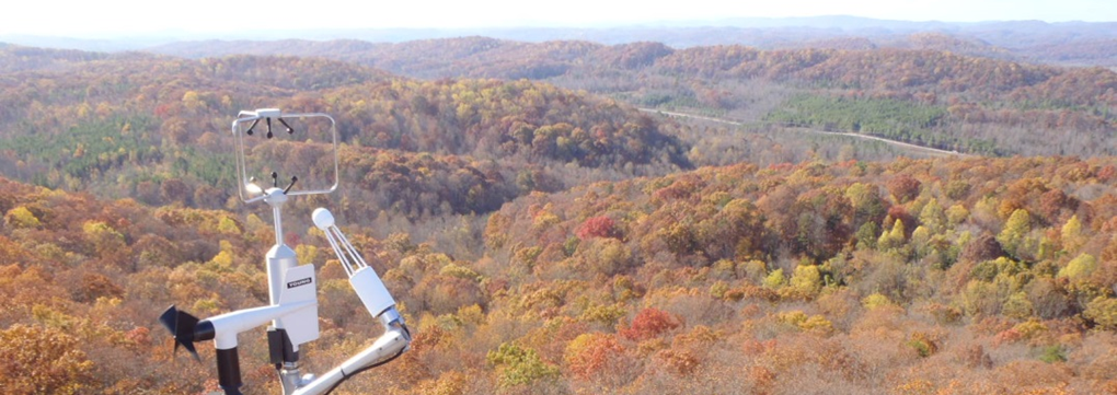
Surface Energy Budget Network
The Surface Energy Budget Network, or SEBN, is a field experiment to measure fluxes of energy, water, and carbon dioxide at the air-land interface to improve understanding of the Earth’s surface energy balance. This network consolidates several independent but closely related observing systems into a single, cost-effective and efficient network. SEBN seeks to explain why climate variables (e.g., air temperature, precipitation) have changed.
It is this energy balance that drives weather, climate, and ocean circulation, and therefore must be accurately reproduced in climate models in order for decision-makers to make sound choices regarding environmental and economic policy. Accurate understanding and simulation of Earth’s energy balance is also important for weather prediction, including short-term and seasonal predictions of water resources.
Currently, NOAA has three SEBN stations in operation to cover representative eco-regions (forests, grasslands, crops, etc) in the US: Audubon in Arizona a grassland field; Bondville, IL, a corn and soybean field; and Chestnut Ridge, TN, a forest of Hickory, Oak and Maple trees.