HYSPLIT Migrates to the Cloud
July 26, 2021.
HYSPLIT was successfully moved to a cloud based hosting platform run by NOAA’s Web Operations Center at 10:16am on July 15, 2021, once testing was complete. This migration enables the NWS to have HYSPLIT access on an operational platform for 24/7/365 hosting and maintenance by reducing the probability of equipment failures.
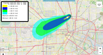
NOAA’s Air Resources Laboratory developed the HYSPLIT model and enhancements that serve public health and safety as well as economic and ecological concerns. NOAA’s National Weather Service (NWS) is the primary operational user of HYSPLIT, and the NWS’s nationwide network of 120+ Weather Forecast Offices (WFOs) use HYSPLIT’s dispersion and trajectory guidance products on a daily basis to aid decision making in their local communities.
This migration ensures nationwide platform stability for the National Weather Service to use HYSPLIT in a variety of situations to forecast the atmospheric transport of smoke, hazardous chemicals, or other particulate matter. In a large-scale emergency, HYSPLIT runs are created at regular intervals and frequently updated in the event that a hazardous situation occurs. Immediate knowledge of a dispersion path can significantly improve response time, which can make a critical difference in lives saved.
During this migration, the operational code was also upgraded. Included in the new features are more geolocation tools, enabling users to input specific start points for a dispersion event without all the latitude-longitude information. A similar enhancement allows the source origin to be targeted via satellite imagery, such as storage tank, building, or railroad crossing. Lastly, the times are shown in local time rather than UTC, to enable readability and user interpretation.
HYSPLIT remains freely available to all users via ARL’s Real‐time Environmental Applications and Display sYstem (READY) web server, along with tutorials for a variety of forecasting operations.