ARL Plays Key Role in U.S. Greenhouse Gas Measurement, Monitoring, and Information System
November 29, 2023
November 29, 2023
As announced by the White House today, NOAA is a key participant in the development of a national system aiming to monitor greenhouse gas emissions. This system will combine capabilities from NOAA and other federal agencies to better understand the emissions and removals of greenhouse gases (GHGs) from national to regional and urban scales as well as from a range of sources. NOAA’s Air Resources Laboratory’s (ARL) contribution is leading the development of an operational measurement and modeling system that quantifies GHGs emission sources in urban areas.
The U.S. Greenhouse Gas Measurement, Monitoring, and Information System
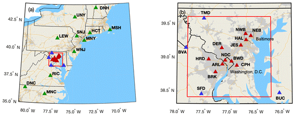
One of the initial goals identified in the national strategy is the development of a prototype urban-scale operational GHG monitoring system. This system is the result of a collaboration between NOAA’s ARL and the National Institute for Standards Technology (NIST), and it covers the Washington, D.C.-Baltimore metro region. The prototype will combine “top-down” atmospheric measurements with “bottom-up” emissions inventories for whole and sub-city emissions. Existing NOAA and NIST observational networks will provide key data inputs to the modeling system to generate an improved understanding of urban greenhouse gas emissions and sinks with a latency of less than a year.
ARL’s contribution to the prototype urban-scale system being developed is being developed via the GHG monitoring system in the DC-Baltimore region. “Our mission is to generate these products in a timely and consistent fashion in order to provide stakeholders with reliable information to determine if policies and practices are effective at curbing greenhouse gas emissions,” said Ariel Stein, Director of NOAA’s Air Resources Laboratory. “NOAA is a key partner to providing relevant data that empower users with reliable information to make informed decisions about their lives and the environment.”
Current Observation Capabilities
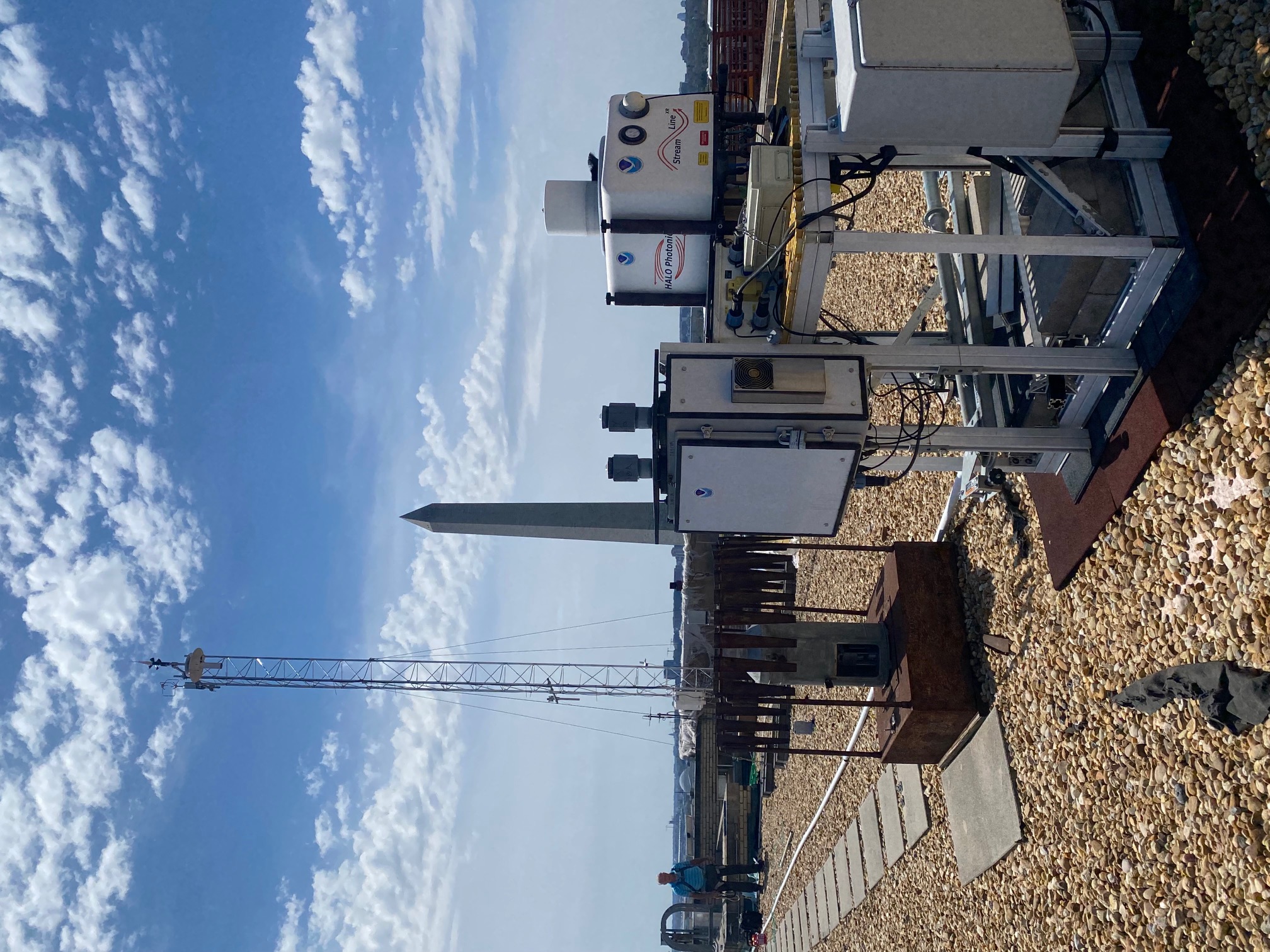
For the past few years, ARL has worked closely with NIST to understand emissions from its mobile platforms and compare them to NIST’s Northeast Corridor greenhouse gas observation network for baseline data. This network of tower-based carbon dioxide and methane observation stations was established in 2015 with the goal of quantifying GHG emissions in urban areas in the northeastern United States. A focus of the network is on Baltimore, MD, and Washington, DC, with a high density of observation stations in these two urban areas. Additional observation stations, such as the Air Resources Car (ARC) and aircraft-based measurements, are available in the northeastern US to provide additional data on emissions throughout this complex region with a high population density and multiple metropolitan areas.
The National Priority
As announced by the White House on November 29, this project is a part of a Nationwide effort led by the White House Office of Management and Budget, Office of Science and Technology Policy, and Climate Policy Office, the new U.S. Greenhouse Gas Measurement, Monitoring, and Information System strategy builds on a wide array of cooperative research, data products, activities, and capabilities aimed at understanding emissions, removals and sinks of GHGs from national to regional and urban scales as well as from a range of sources. NOAA is producing this information product as part of the Administration’s framework for a national system to measure, monitor and share information related to reducing greenhouse gas emissions in order to meet U.S. commitments under the 2015 Paris Agreement.
To learn more about NOAA’s role in this National Strategy, visit: https://www.noaa.gov/news-release/biden-harris-administration-releases-greenhouse-gas-monitoring-strategy


