Dr. Tilden Meyers Presents Seminar Highlighting 20+ Years of Data, Modeling Results
April 2018
April 2018
Dr. Tilden Meyers, Acting Chief Scientist for Climate Programs at ARL’s Atmospheric Turbulence and Diffusion Division, presented a seminar on 18 April titled, “Using a calibrated land-surface model for gap-filling energy, carbon, and water fluxes.” The seminar, open to colleagues across all four divisions of ARL, served as a culmination of multiple factors as Meyers moves toward publication of his findings.
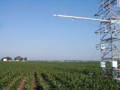
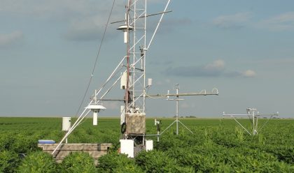
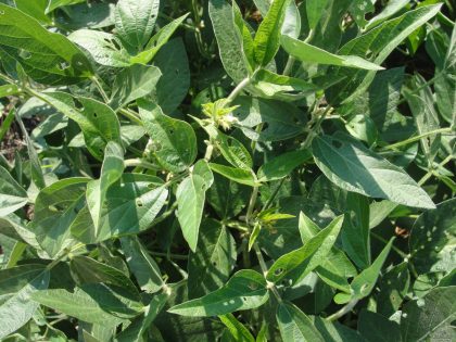
The session began with the observation that long-term monitoring of energy, carbon, and water fluxes always requires a gap-filling strategy when examining seasonal and annual water and carbon fluxes. In most cases, data gaps are either prorated for a given time period or relationships between variables are formed to provide estimates of the missing variables and are site specific. Dr. Meyers discussed how site specific information can be used in a two-source (soil and canopy) land surface model to provide estimates of not only energy and carbon fluxes, but also of soil temperatures and moisture, leaf area index, and turbulence scaling parameters. He went on to explain that the two-source model also provides an opportunity evaluate the contributions of water and carbon fluxes from the soil and canopy over the growing season, and he provided details on how site specific information was used in modeling.
Dr. Meyers has spent the last 33 years of his career at ATDD. His primary focus is land-atmosphere interactions, which includes delving into both atmospheric science and micrometeorology. Over the last 20+ years, Dr. Meyers has continually performed highly-technical activities, amassing a large collection of data and Observations. He was excited to explain how he’s compiled a novel way to fill in data utilizing a model that’s been calibrated against his observations, especially since it’s taken the last few years to assemble the model’s components.
As a dedicated scientist, Meyers was eager to share the “nuts and bolts” of his efforts – what went in, what he learned, and results that he obtained; especially the part where the model matched his measurements. Sharing his work, he believes, may help others in the modeling community. He’s happy to share the various sub-models that were used and is hoping to get constructive feedback from colleagues on these findings. When asked to summarize his findings, Dr. Meyers noted, “Observations of land-atmosphere exchanges of water, heat, and carbon dioxide were used to derive land surface model (LSM) parameterizations. The derived relationships, coupled with the LSM, were able to provide estimates of heat, water and carbon fluxes that could be used to fill data gaps since continuous data records are necessary for providing seasonal and annual summations of both carbon and water budgets.”


