Trajectory Computational Method |
||
 Previous |
 Next |
|
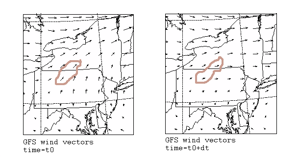
If we assume that a particle passively follows the wind, then its trajectory is just the integration of the particle position vector in space and time. The final position is computed from the average velocity at the initial position (P) and first-guess position (P').
|
|
P(t+Δt) = P(t) + 0.5 [ V( P,t) + V(P',t+Δt) ] Δt |
| P'(t+ Δ t) = P(t) + V(P,t) Δt |
The integration time step is variable:
Vmax Δt < 0.75
The meteorological data remain on its native horizontal coordinate system. However, the meteorological data are interpolated to an internal terrain-following (σ) vertical coordinate system:
σ = ( Ztop – Zmsl ) / ( Ztop – Zgl )
Ztop -
top of the trajectory model’s coordinate system
Zgl -
height of the ground level
Zmsl - height of the internal coordinate
The model’s internal heights can be chosen at any interval, however a quadratic relationship between height and model level is specified, such that each level’s height with respect to the model’s internal index, k, is defined by
Zagl = ak2 + bk +c
The constants are automatically defined such that the model’s internal resolution has the same or better vertical resolution than the input data.
Previous |
Next |