Shapefiles for ArcExplorer |
|||
 |
 |
|
|
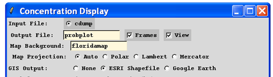
Graphical output from most GUI programs can be converted into an ESRI GIS shapefile format for use in programs such as the free ArcExplorer. To convert the graphic generated in the last example, check the Frames and ESRI Shapefile boxes in the Concentration Display menu. This will result in a unique Postscript file and 2 text files for each time period (ignore the concplot.ps not found message). The Generate format text output file (GIS_00100_ps_HH.txt, where HH is the sequence number) contains the latitude and longitude pairs that make up each contour.
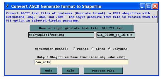
From Utility Programs, use the GIS to Shapefile menu to select text files. They are named by level and time sequence. Select the last file (#16) and rename the output file to reflect the same number. When finished there will be a series of files with the suffix “shp”, “shx”, and “dbf”.
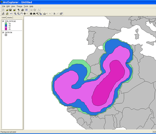
Open ArcExplorer and click on the "+" button to add the Con_sh16.shp theme. Also add the country map background theme (CNTRY94.SHP) from the C:\Program Files\ESRI\ArcExplorer2.0\AETutor\ directory and then select both themes. Move the map background theme below the concentration theme by dragging the name below the concentration name. To change the color of the fill and other attributes, double click on the theme name. In this case we made the map background gray. To have each contour level a different color, choose Unique Values from the Classification Options menu and then choose "id" from the Field pulldown menu. To change the color scheme, keep choosing "id" from the pulldown menu.